 Polski
 Deutsch
distance (km)
altitude m a.s.l.
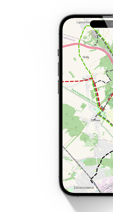
hiking,
black
26,9 km
7h
64 m
63 m
 Świder, PKP
  Świder, PKP