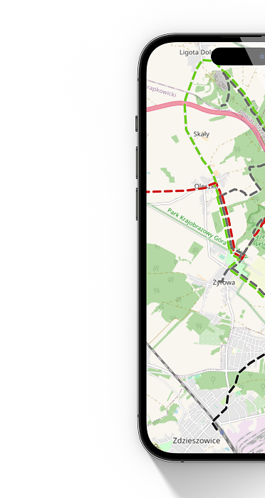
Rejentówka - Ruda

Leaflet © OpenStreetMap contributors
distance (km) altitude m a.s.l.
cycling, black
1,43 km
↗ 3 m
↘ 6 m
Punkt początku trasy Rejentówka
Punkt końca trasy Ruda

Get the app

Our website uses cookies, incl. for statistical purposes. If you do not want them to be saved on your hard drive, change your browser settings.
More on this...