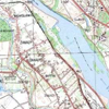
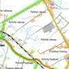
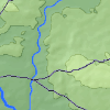
Map of tourist routes
A planned route


Szlak Wisły
40,0 km
Total length 3D
10h 37min
By foot
244 m
241 m
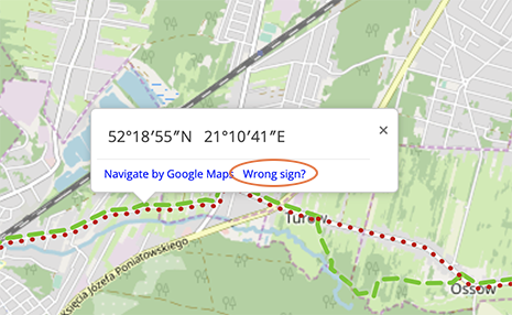
Copy / share route link
Copy the following address to the clipboard
Keep it and paste (Ctrl + V) in the browser to re-load the trip
Open in the application
Enter the following code in the PTTK Mazowsze mobile app and get on the road!
gbgdadh
 Polski
 Deutsch